Mapping the world in high fidelity 3d
The most detailed Digital Twin of Every City on Planet Earth.
Powered by Satellite Imagery & AI.
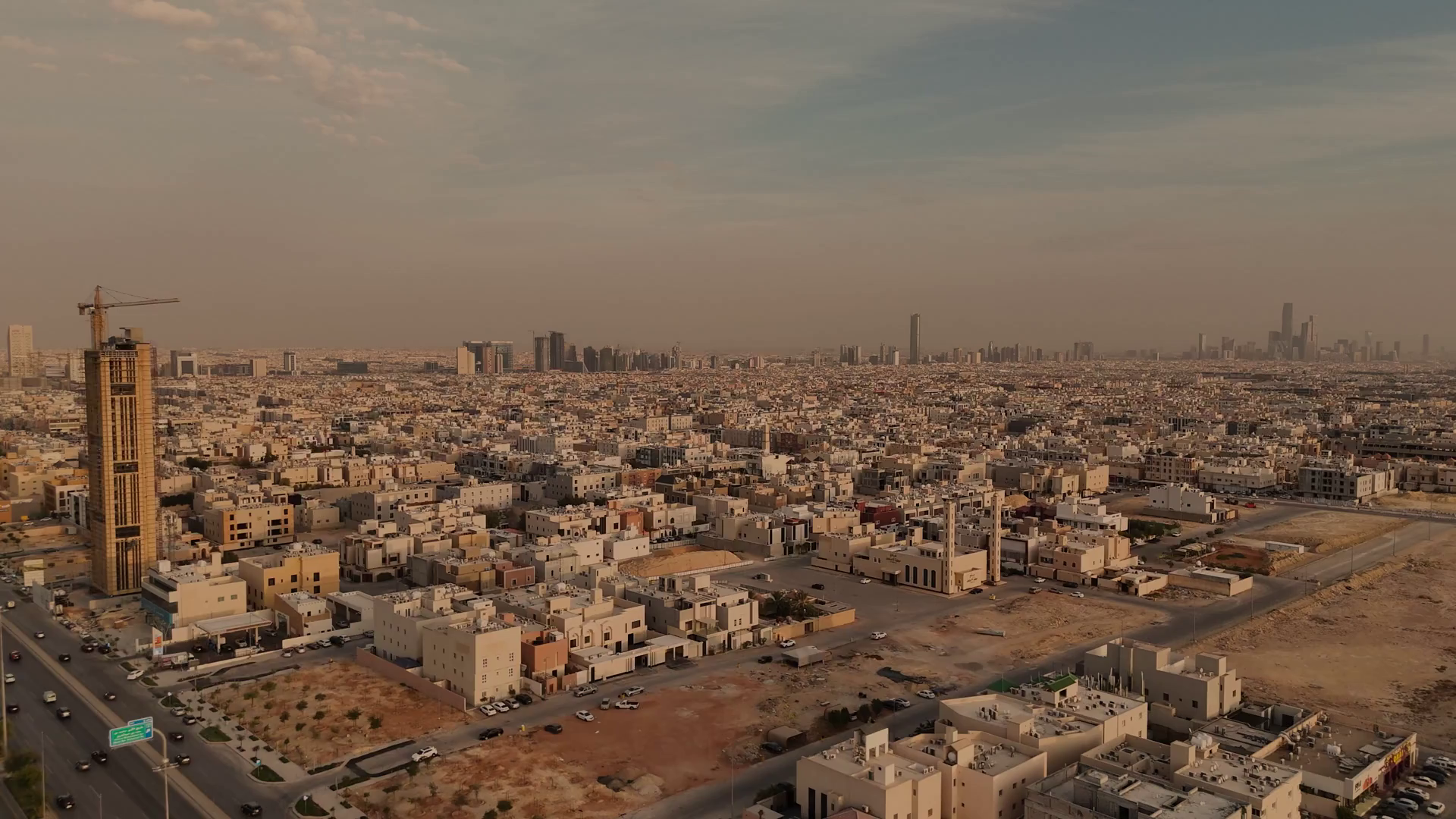
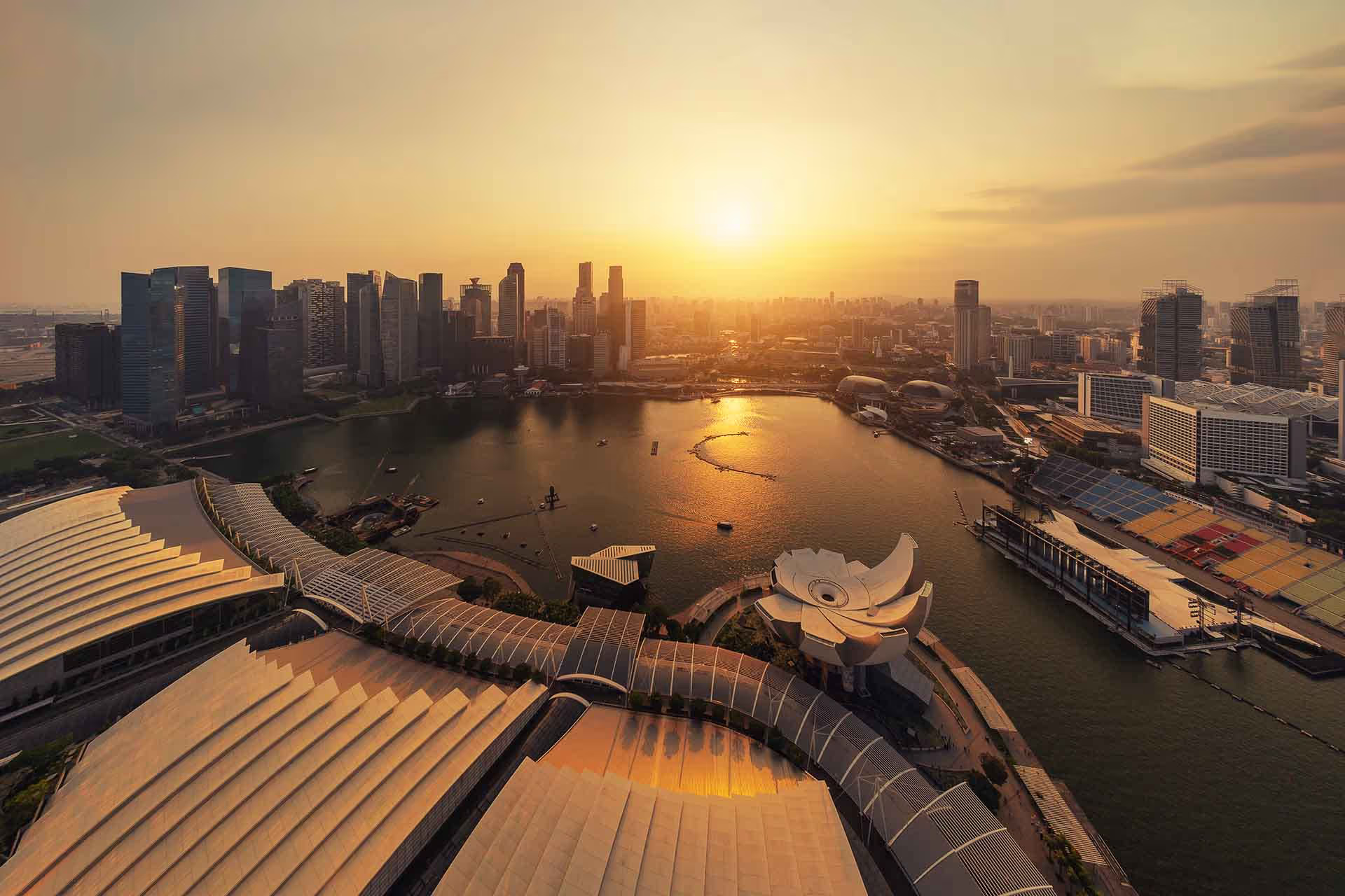
We build 3D City Models of the Entire Planet
Fusing millions of satellite imagery, geospatial & street data into a semantic, machine-
readable database and photorealistic synthetic 3D environments for simulation,
visualisation, urban planning, smart city, ESG, security & defence applications.
Powered by Satellite Imagery & Deep Learning .
WHAT WE DO
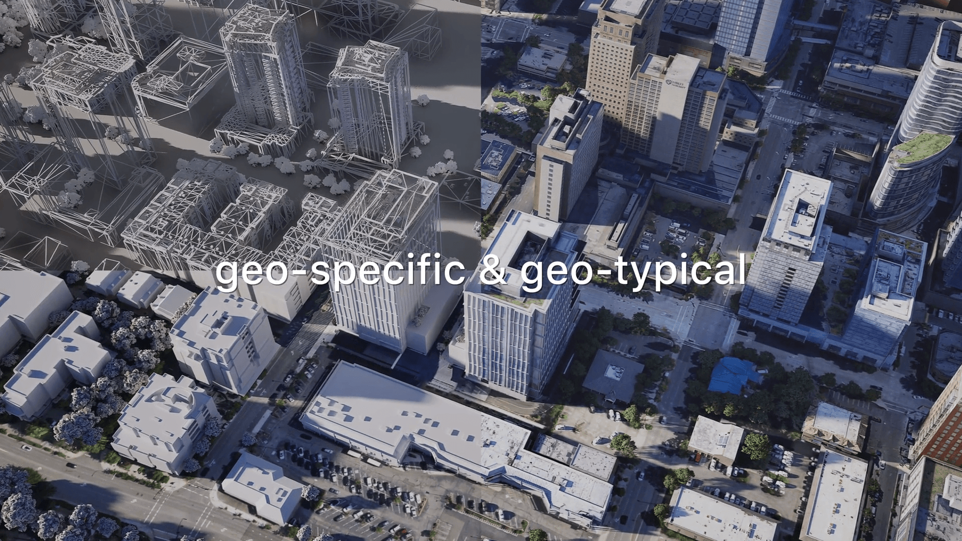
Planetary-scale AI city modelling platform converts 2D satellite imagery, street view and indoor map into a semantic, high-performant, photorealistic, geo-specific digital
replica of ANY CITY on EARTH.
Planetary-scale AI city modelling platform converts 2D satellite imagery, street view and indoor map into a semantic, high-performant, photorealistic, geo-specific digital replica of ANY CITY on EARTH.


Modelling World Cities At Machine Scale
VIZZIO is transforming the world of 3D modeling and visualization by making it more affordable, faster, and simpler to use. We are breaking down traditional barriers of high costs and complexity, enabling industries like urban planning, real estate, security, smart manufacturing, defense, gaming, and architecture to fully tap into the power of AI-driven 3D technology.
11.5m
lines of code
6.5m
Sqkm of cities modeled
34
patents filed
1M
3d models generated
75%
average time saved vs traditional methods
835
sqkm of indoor space mapped
Products
earth.ai
Transforming satellite imagery and geospatial data into detailed, photorealistic 3D digital twins of urban environments.
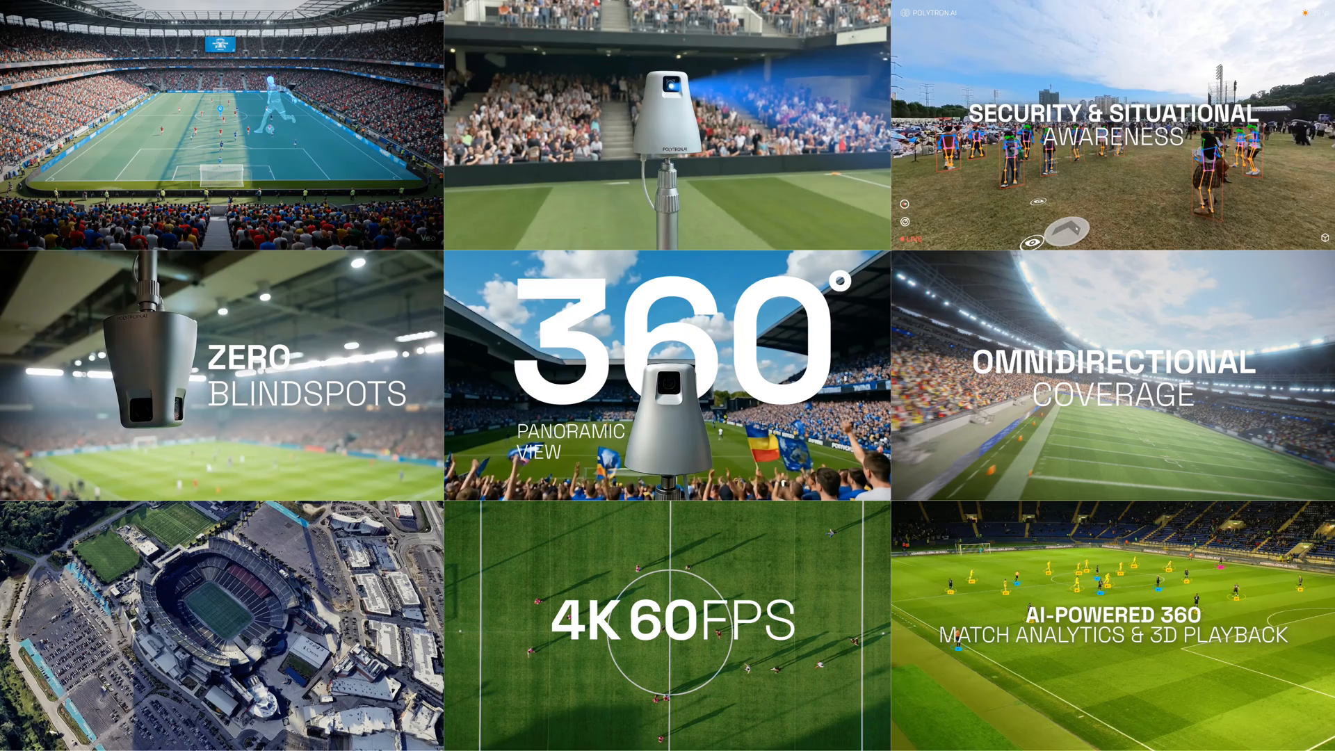
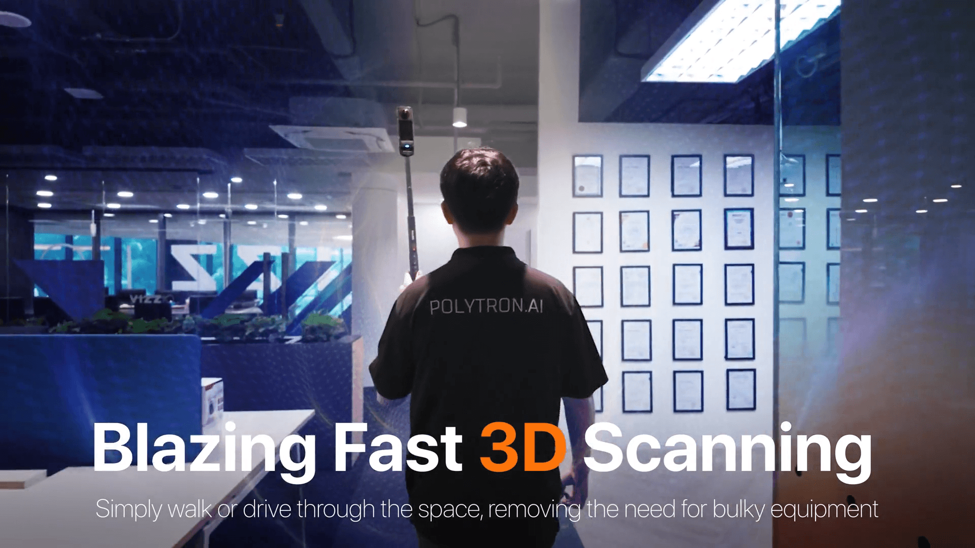
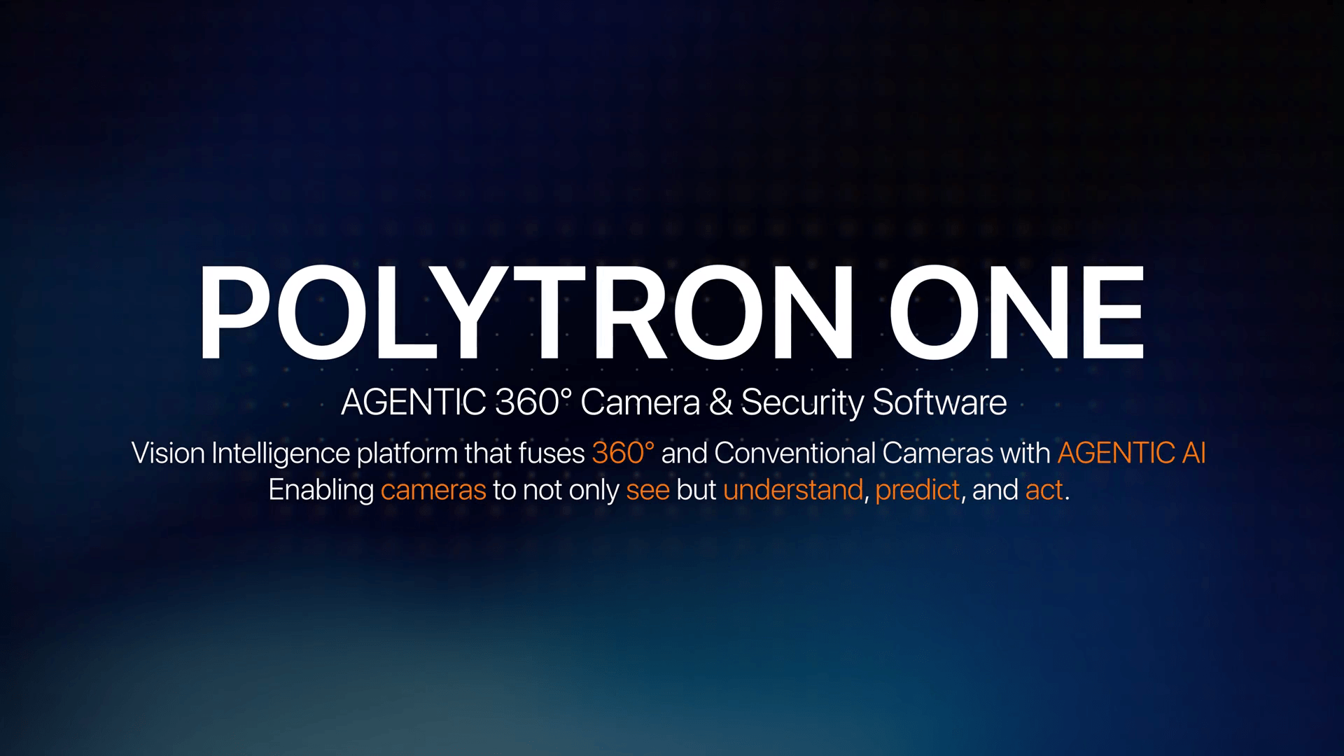
polytron.ai
Next-gen AI-POWERED 3D 360 cameras purposely built for Digital Twin that turns your 3D SPACES into REAL-TIME LIVE 3D & Interactive Experiences.
Solutions
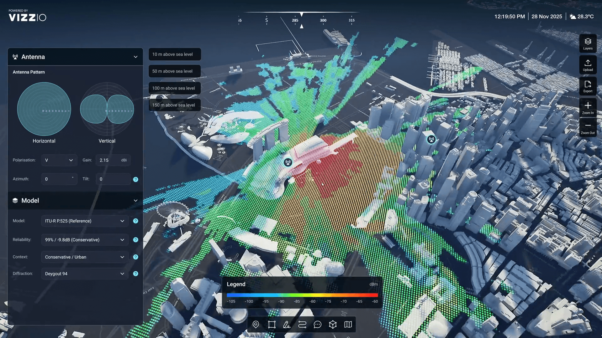
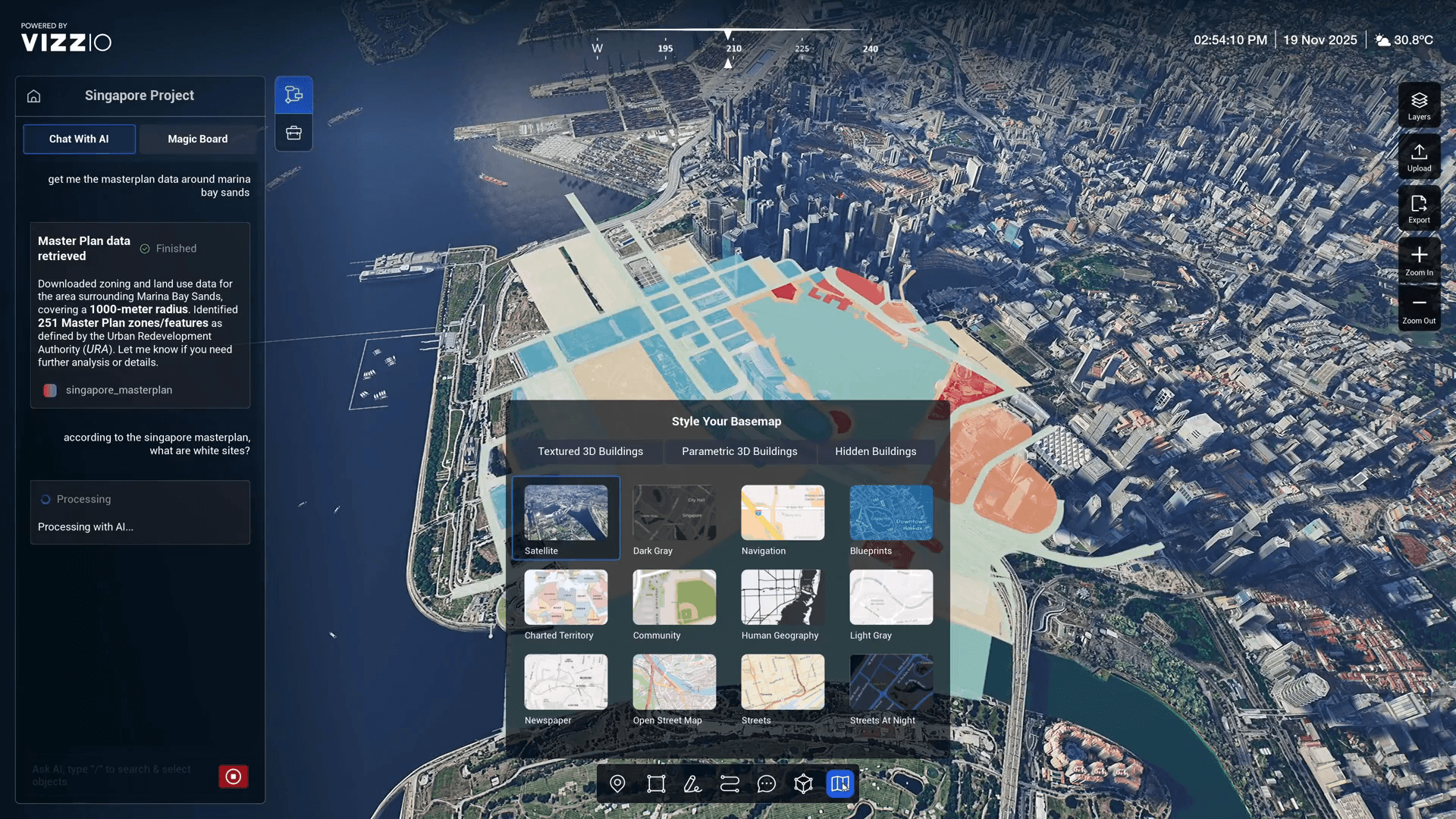
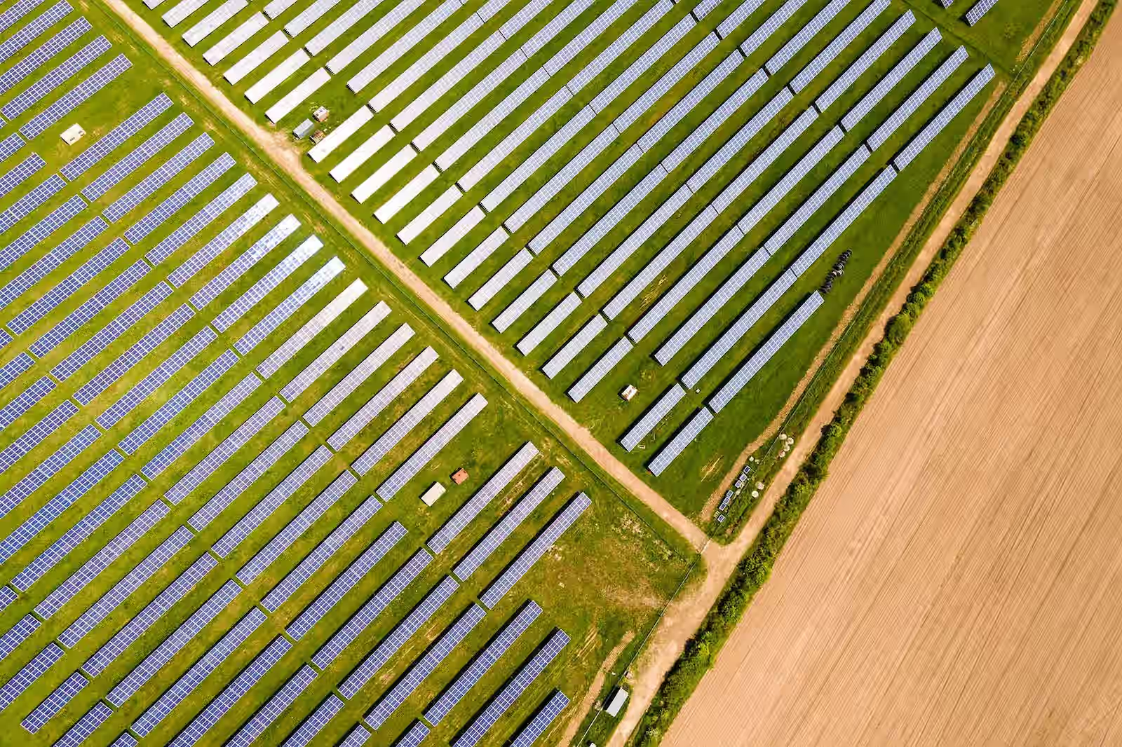
VIZZIO’s City-Scale 3D Digital Mapping transforms urban planning and smart city development by delivering immersive, real-time models of urban environments. It enables precise visualization and analysis of infrastructure, landscapes, and population dynamics, while integrating IoT data for actionable insights on traffic, energy, and resources. This technology supports scenario planning, enhances decision-making, and fosters collaboration, paving the way for sustainable and efficient smart cities.
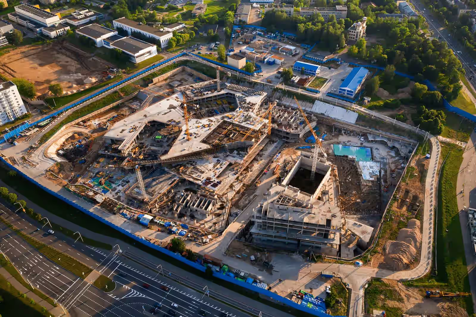
VIZZIO’s advanced 3D mapping transforms the construction industry with precise indoor and outdoor visualizations, real-time progress monitoring, and early issue detection to prevent delays. Integrated with IoT sensors, digital twins provide real-time insights into structural integrity, equipment usage, and safety compliance, boosting efficiency and minimizing risks. These tools also enhance stakeholder collaboration, ensuring seamless alignment from design to project completion.
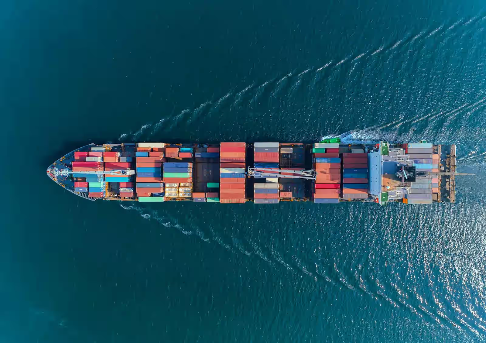
3D Digital Twin provides real-time insights, optimizing workflows, and improving inventory and resource allocation. They enhance route planning, enable predictive maintenance, and integrate IoT data for end-to-end visibility, driving efficiency, cost reduction, and agility in the supply chain.
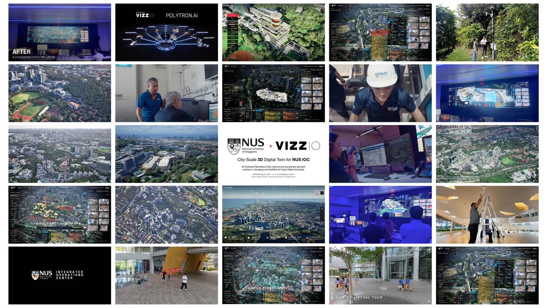
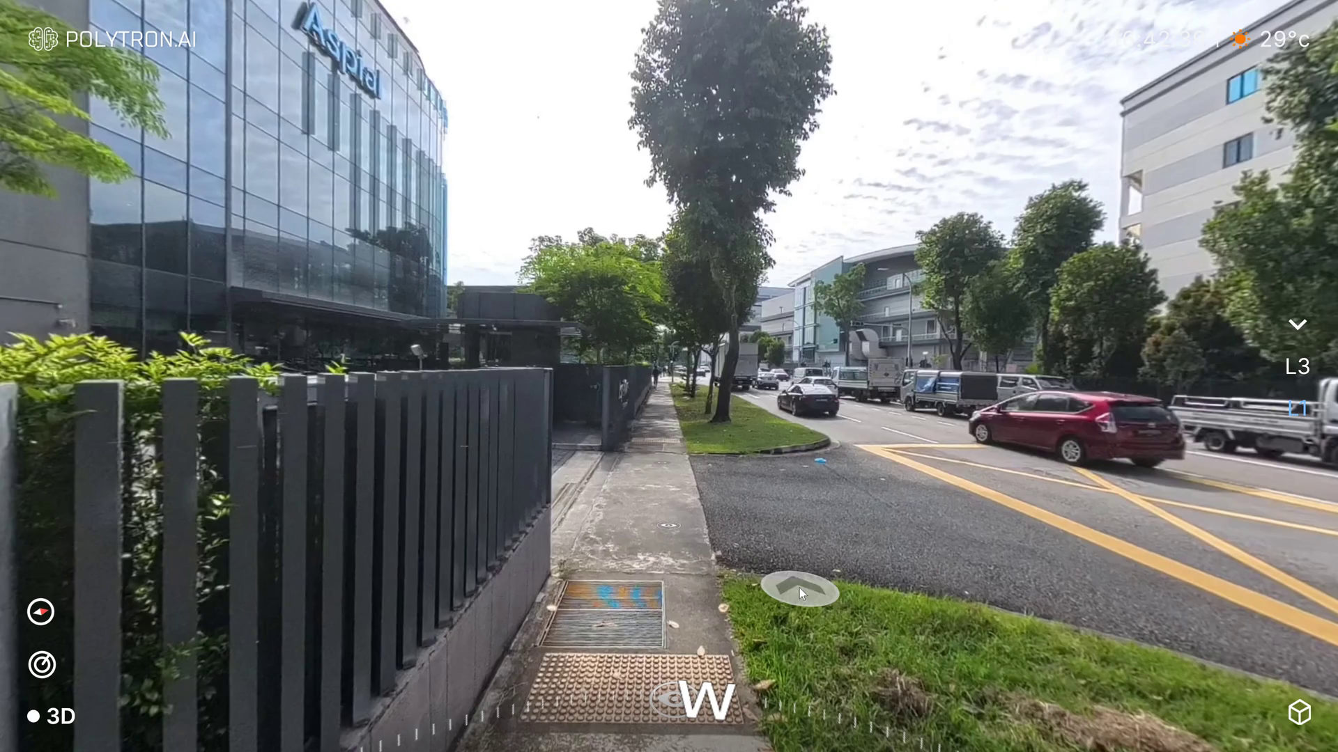
Our LIVE 3D Virtual Tour and constantly updated 3D City Map revolutionize travel and tourism by enabling users to explore locations before booking, enhancing confidence and satisfaction. These tools optimize property management and urban tourism with real-time insights into occupancy, energy use, and maintenance, while supporting personalized itineraries and efficient crowd management. Integrated with IoT and data analytics, they drive operational efficiency and create seamless, tailored travel experiences.

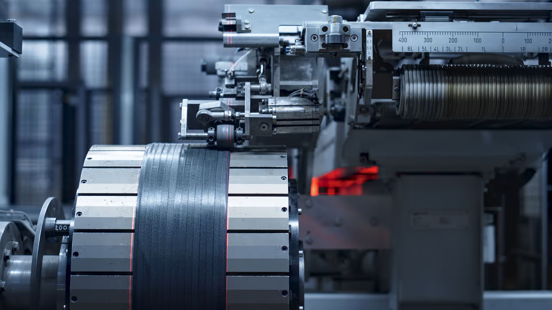
Digital twin and LIVE 3D enables real-time monitoring, simulation, and optimization of processes. They enhance quality control, predictive maintenance, and resource efficiency while improving production line design and workflow visualization. With real-time insights and remote collaboration, these tools drive smarter, more agile industrial operations.
A vision-based multi-modal AI model powers the VIZZIO LIVE 3D Virtual Patrol and POLYTRON ONE, integrating video, sensors, and environmental data for advanced pattern recognition, anomaly detection, and proactive maintenance. It optimizes energy management and enhances situational awareness, efficiency, and sustainability.
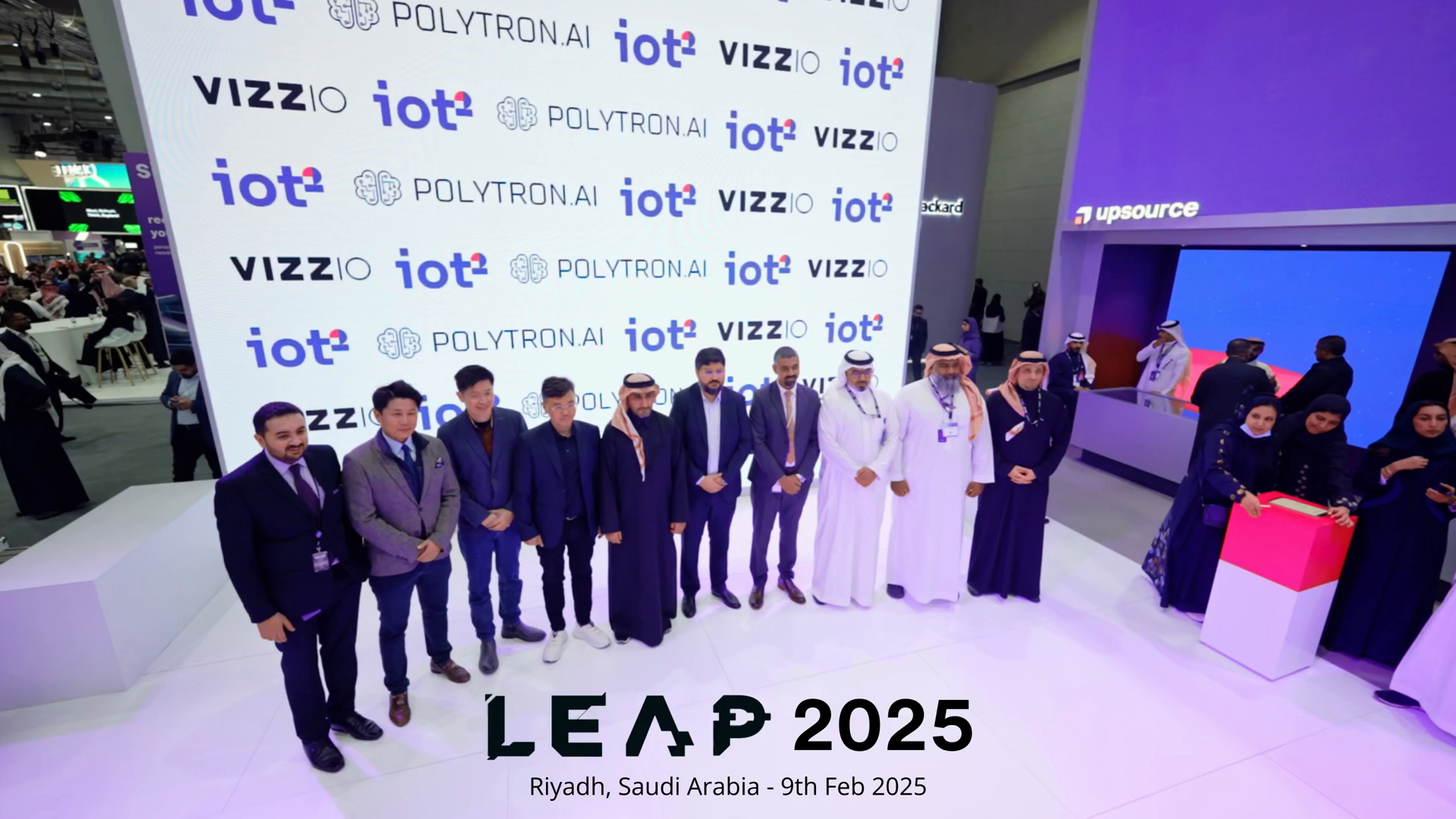
Trusted by The world's leading players